Log in
All resources
Create a design
33,884 Free Images of 1764 Maps
maps in the library of congress
maps with cartouches
1746
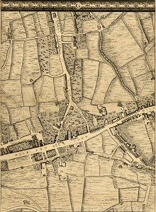
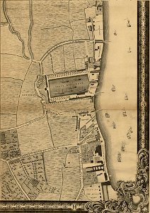
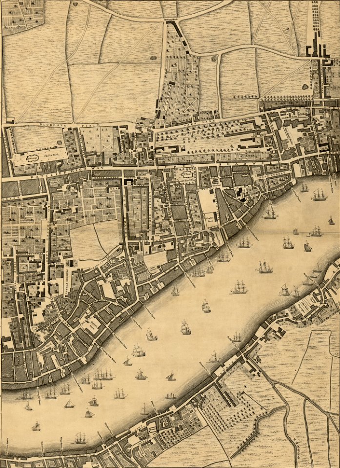
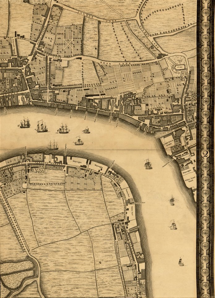
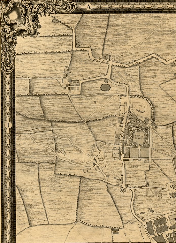
john rocque 1746 crops from library of congress
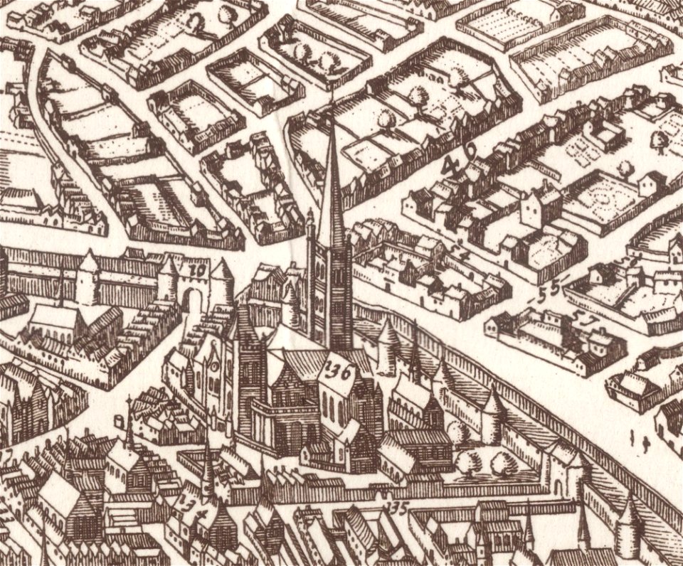
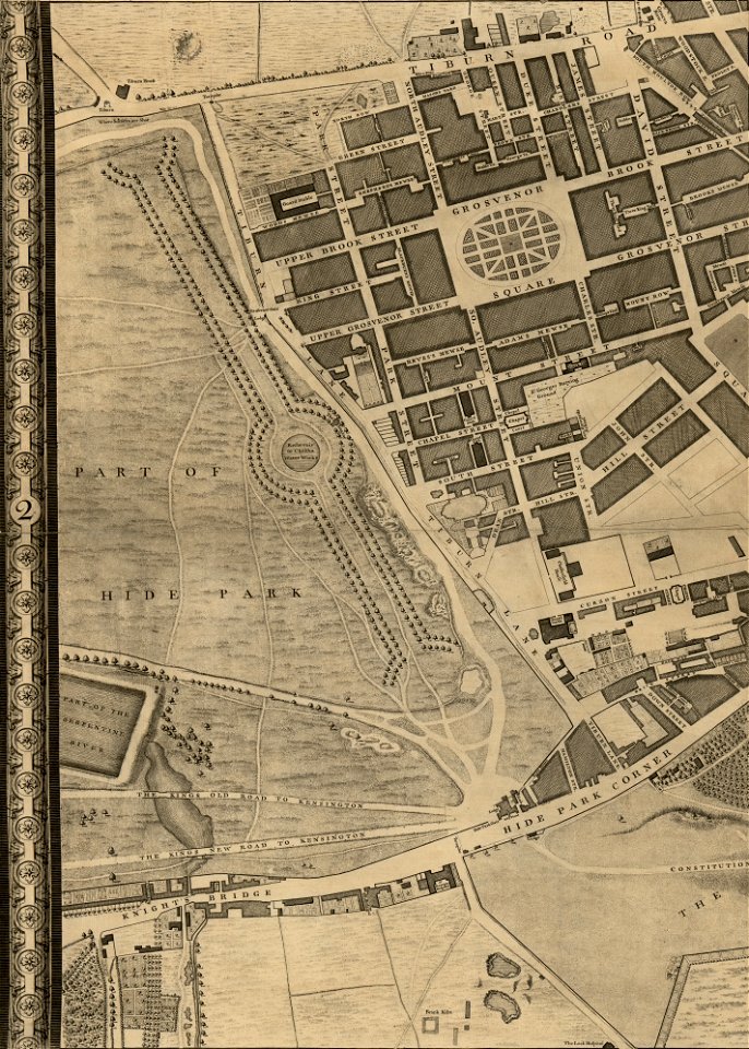
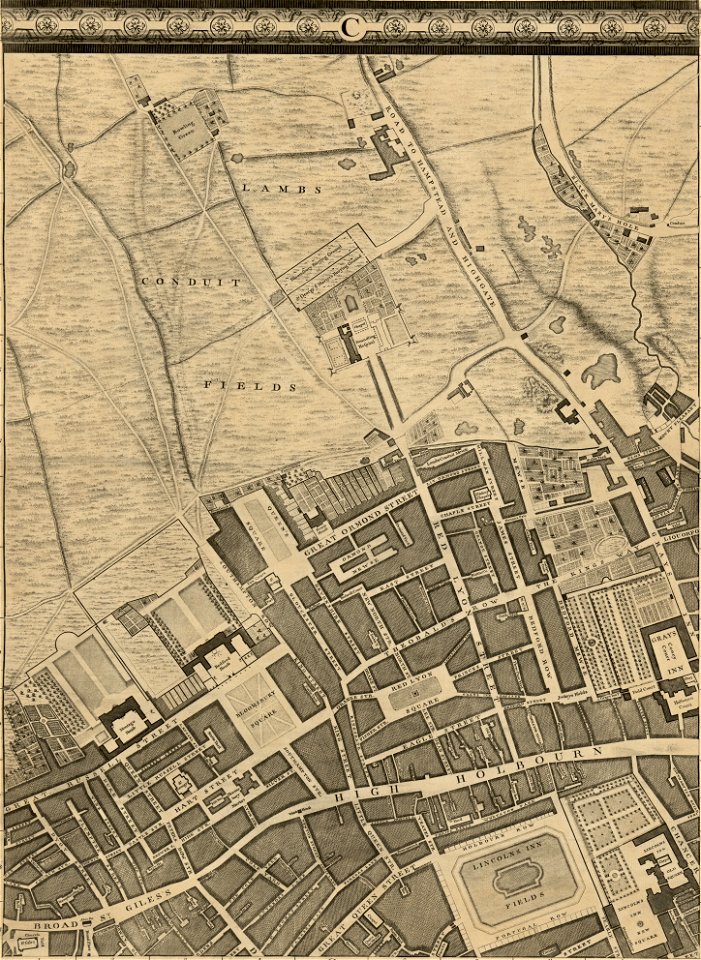
john rocque's map of london
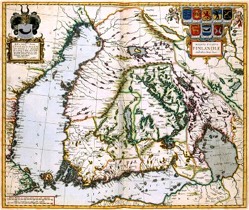
atlas van der hagen
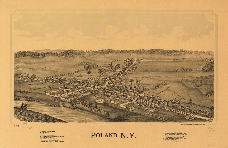
town maps by l. r. burleigh
maps made in the 17th century
maps by pieter schenk (i)
l. r. burleigh
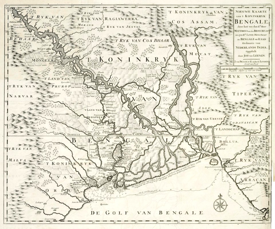
dutch bengal
1726 maps
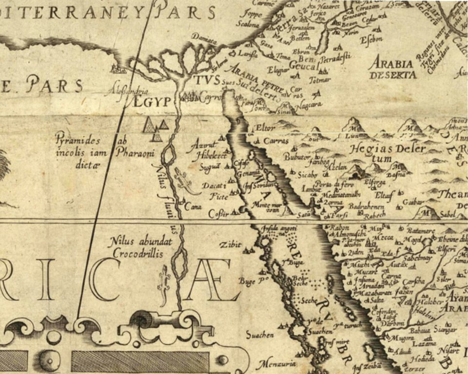
harbours in egypt
sieabo
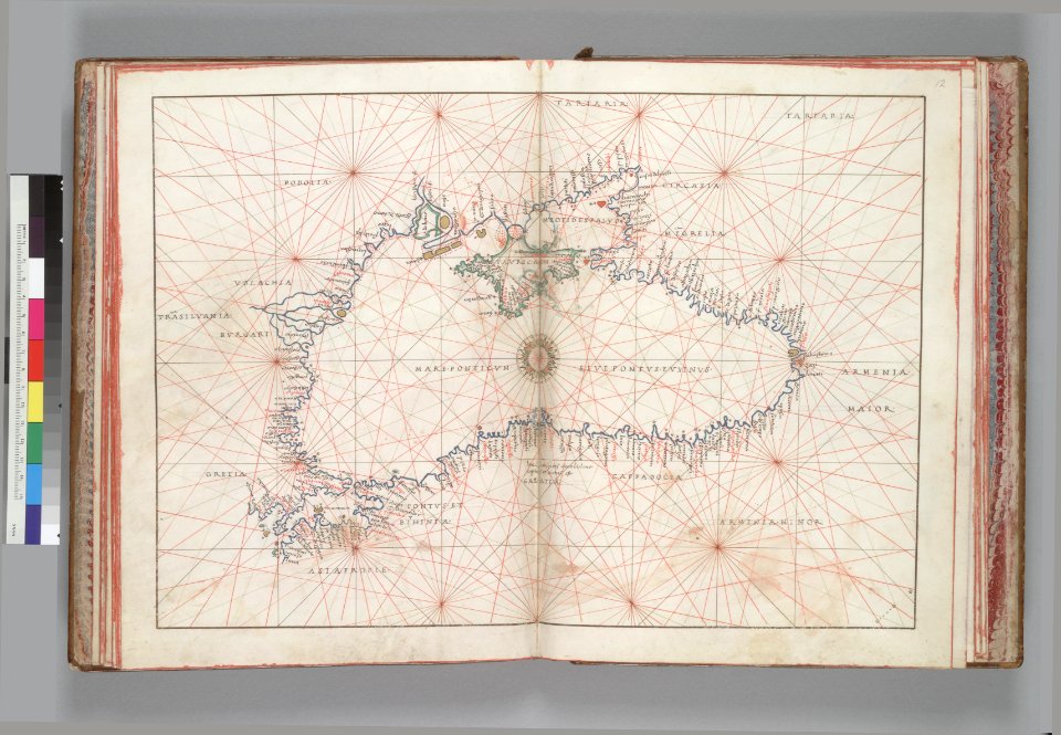
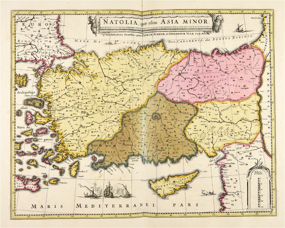
16th-century maps of the black sea
battista agnese
maps in the library of congress
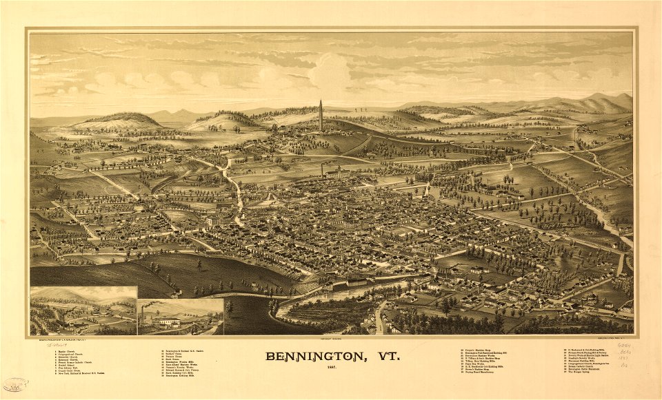
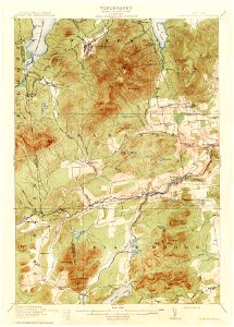
vermont
maps in the library of congress
vermont
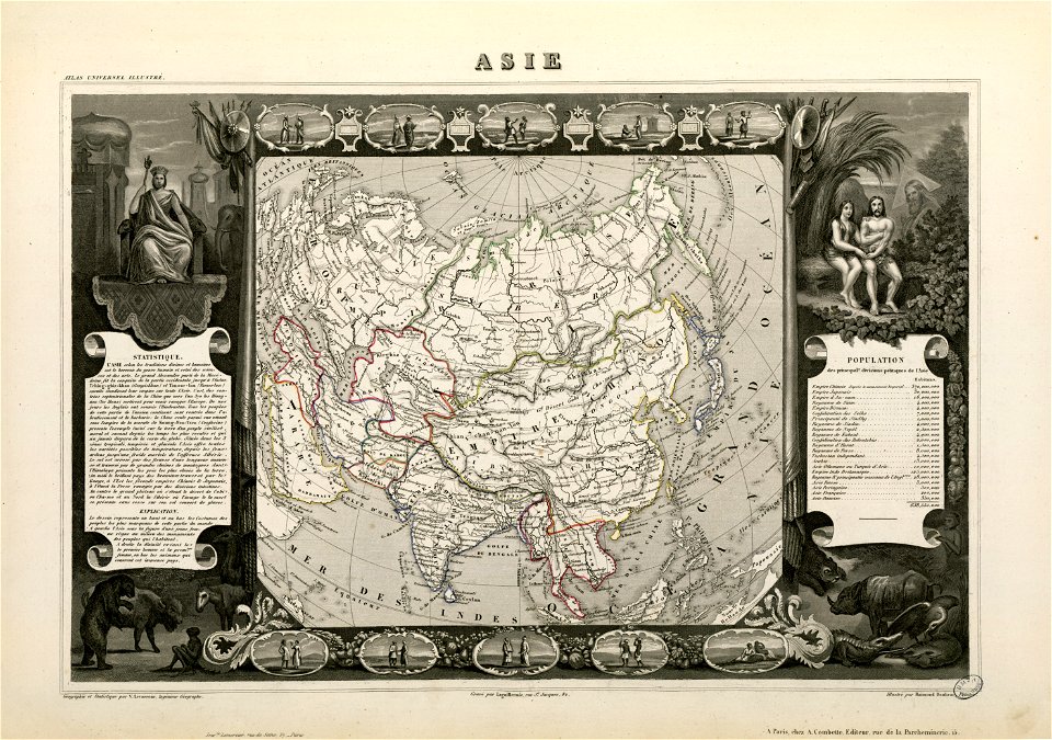
victor levasseur - maps of the world
old maps of asia
maps with cartouches
atlas van der hagen
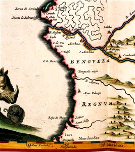
benguela
luanda
maps with cartouches
copper engraving
maps with cartouches
atlas van der hagen
maps with cartouches
atlas van der hagen
maps with cartouches
atlas van der hagen
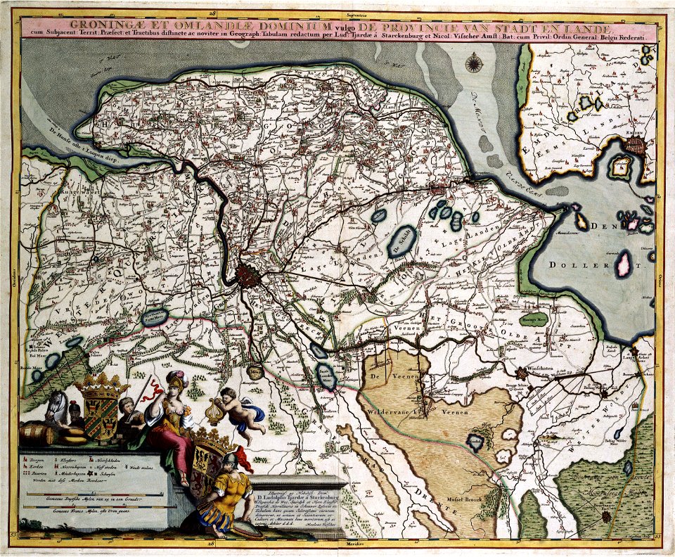
old maps of groningen (province)
maps with cartouches
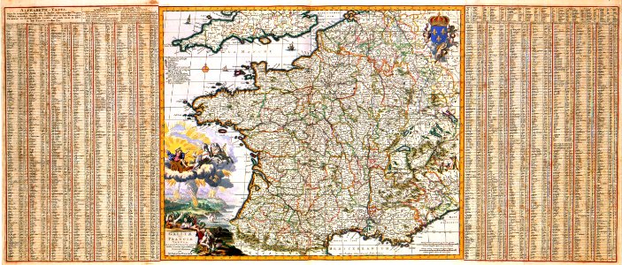
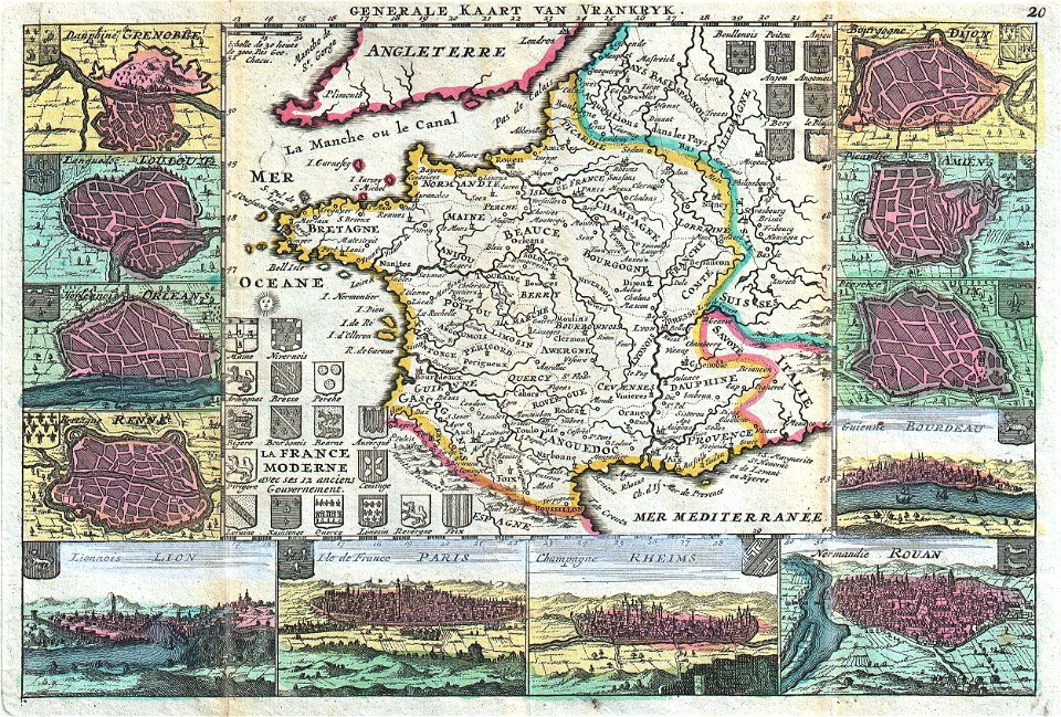
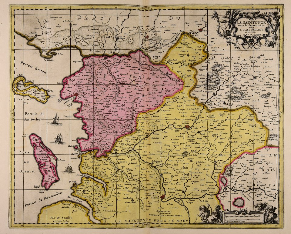
17th-century maps of france
maps with cartouches
maps with cartouches
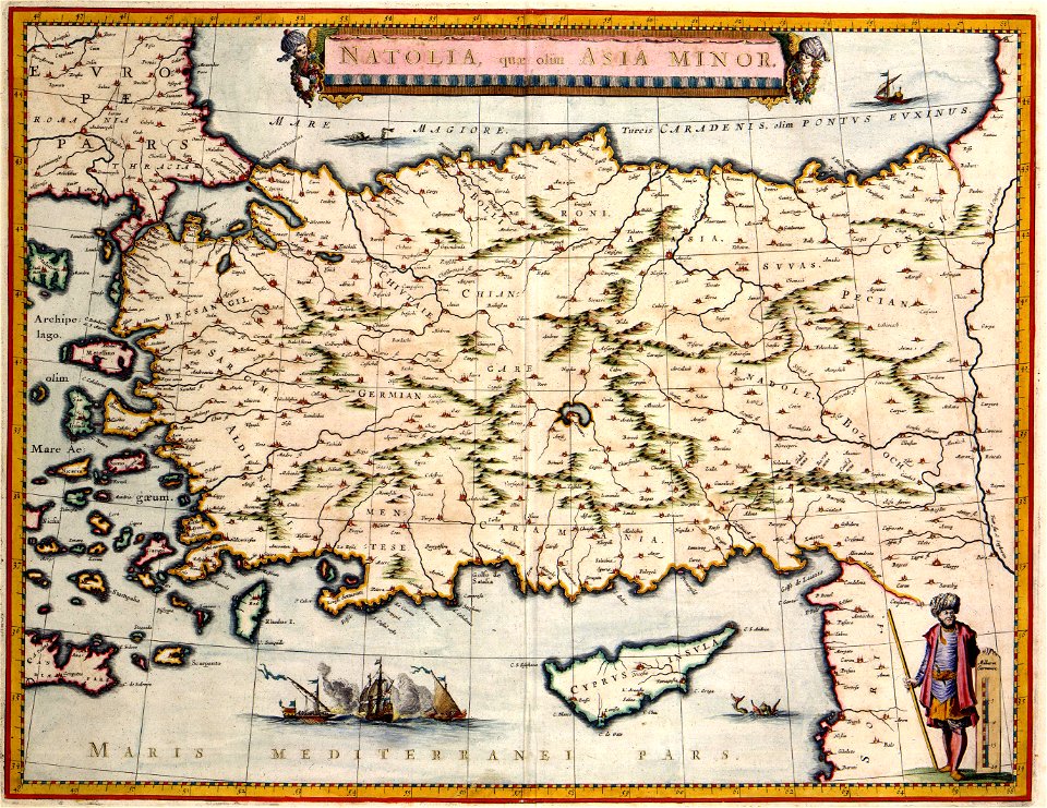
old maps of turkey
french-language maps
johannes ratelband
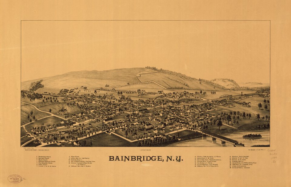
bainbridge
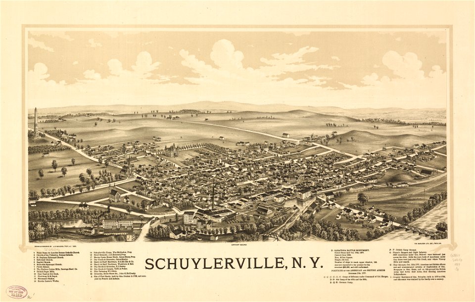
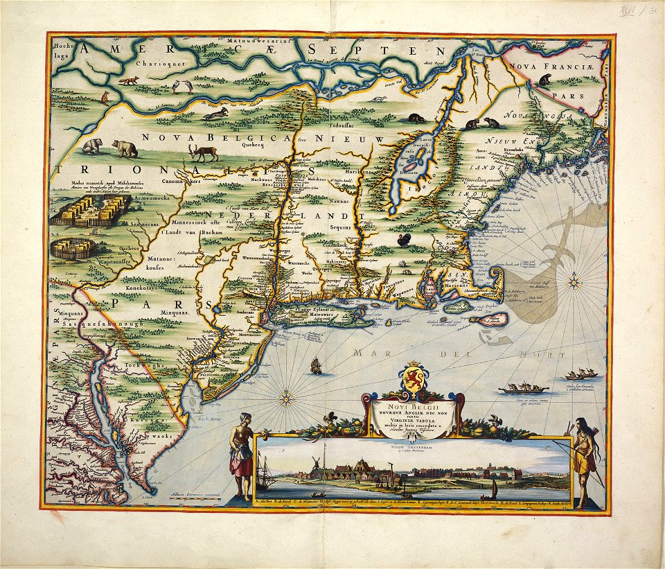
new york
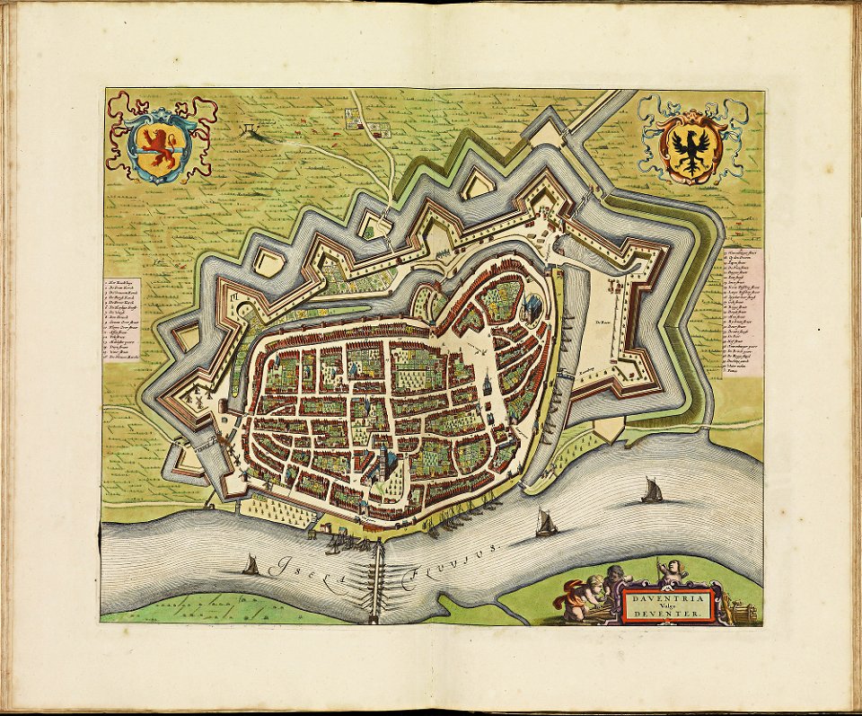
17th-century fortress plans
coats of arms on maps
latin-language maps
johannes ratelband
allegories of the four elements
islands of california
new york
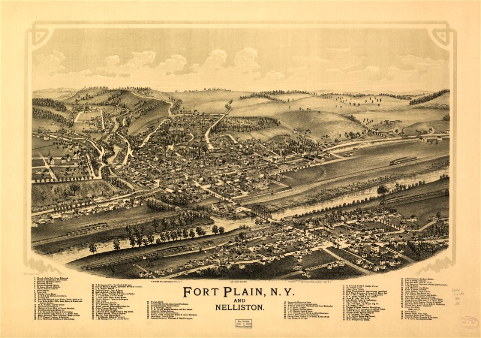
fairport
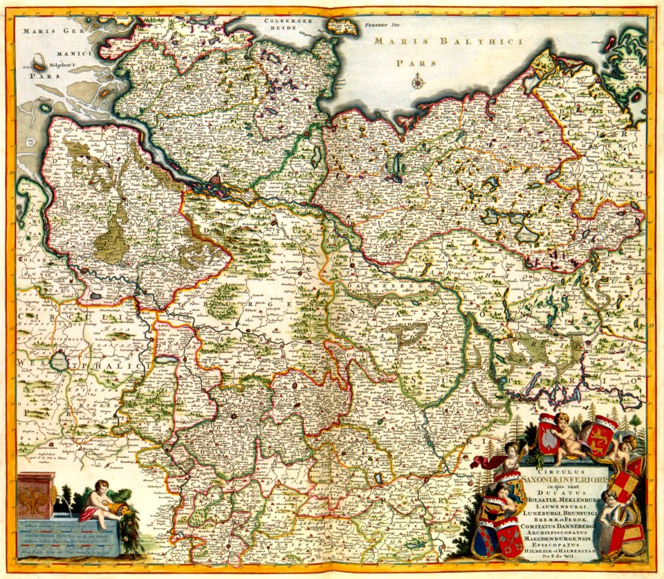
maps by frederick de wit
old maps of the hague
maps of paris in the 1840s
1843 in paris
19th-century maps of japan
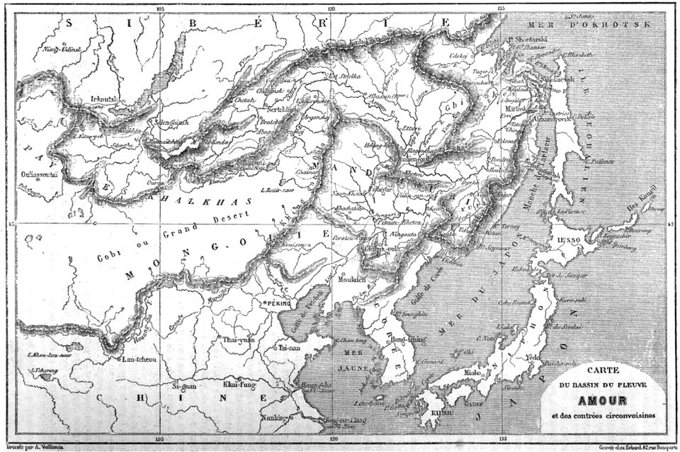
old maps of manchuria
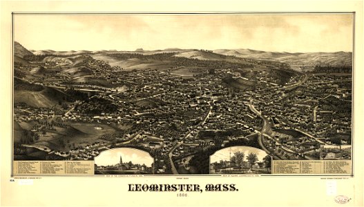
massachusetts
leominster
1860s maps of the united states
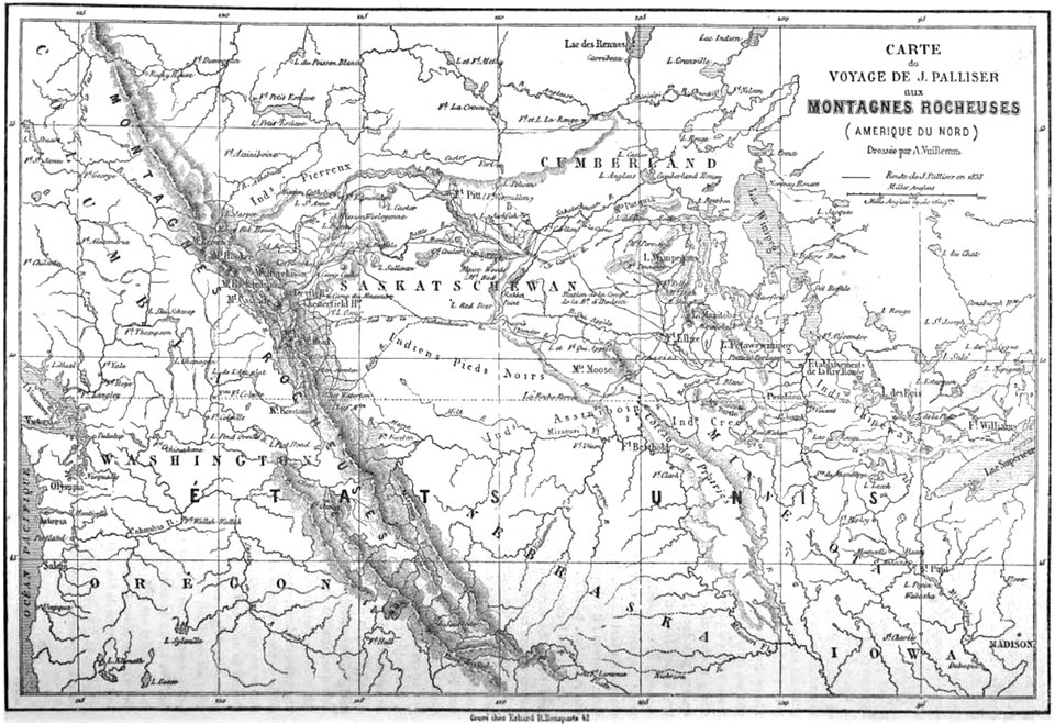
maps by alexandre vuillemin
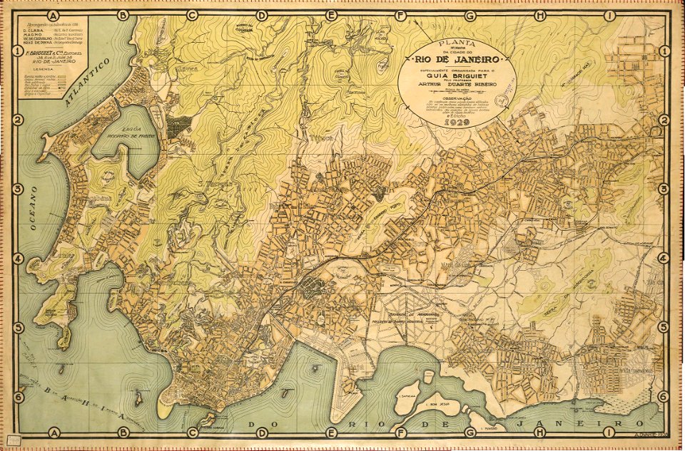
rail transport maps of brazil
20th-century maps of brazil
dancker danckerts
joan blaeu
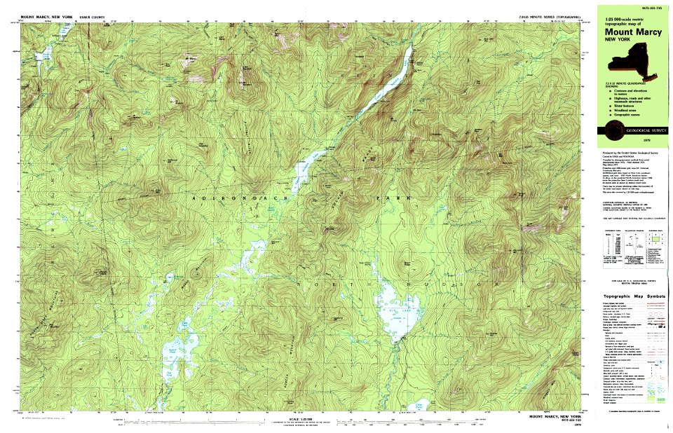
maps of the adirondack mountains
old maps of new york (state)
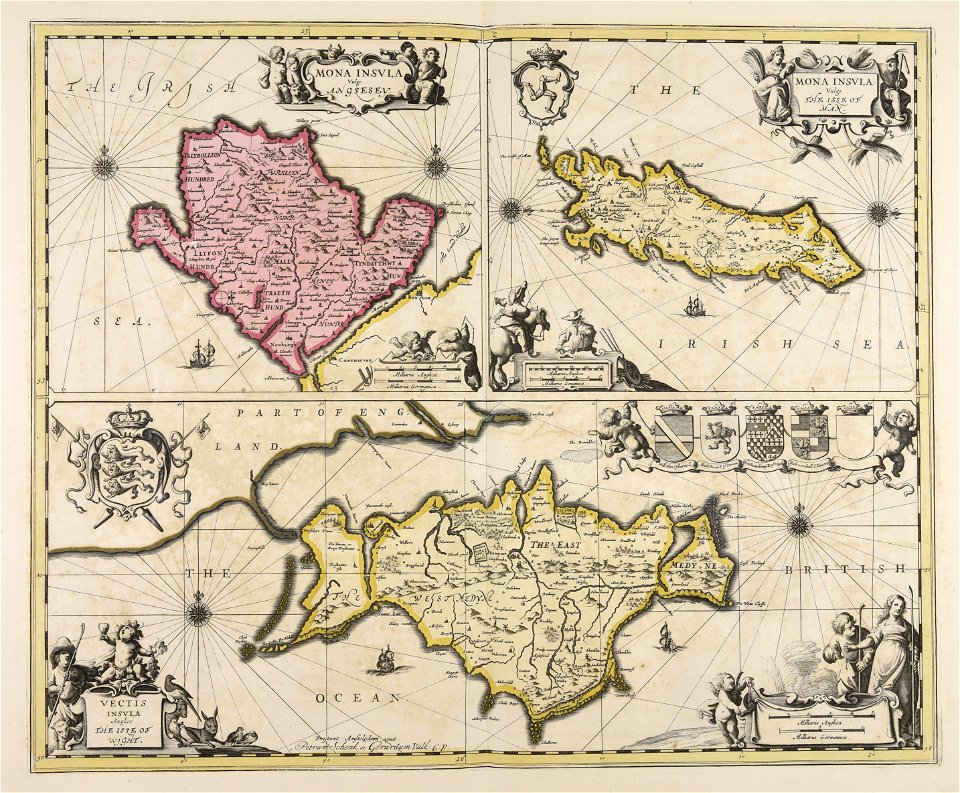
isle of wight
the needle
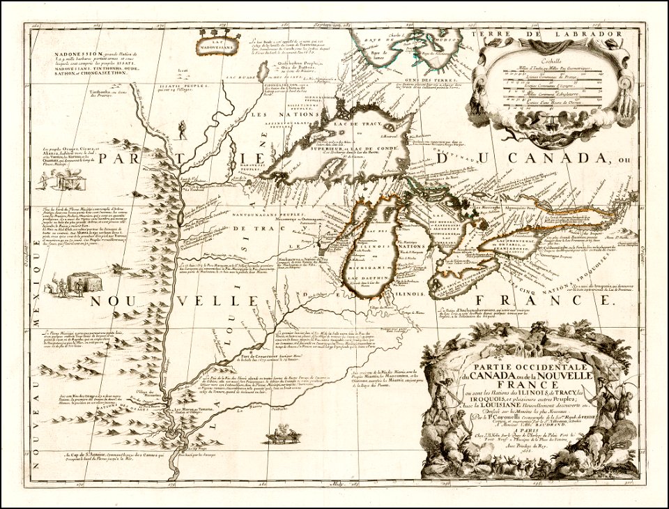
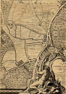
old maps of new france
maps by coronelli
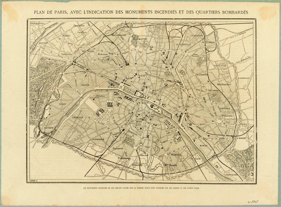
maps of paris in the 1870s
1871 in paris
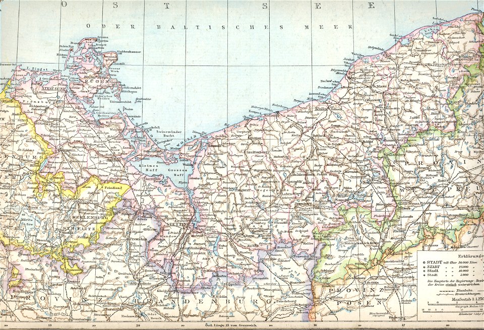
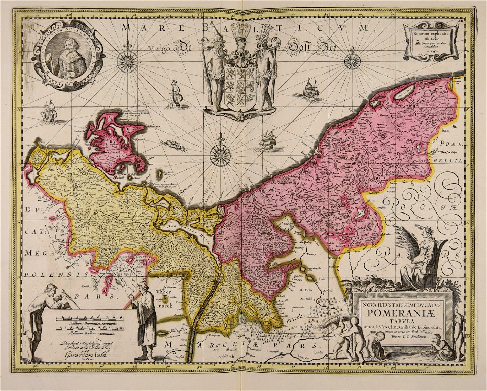
old maps of pomerania province
1880 maps
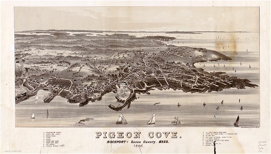
massachusetts
pigeon cove
massachusetts
pigeon cove
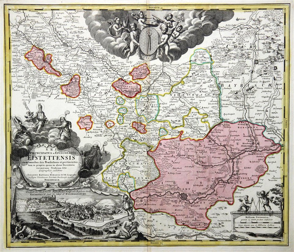
johann baptist homann
1717 maps
stillwater
new york
new york
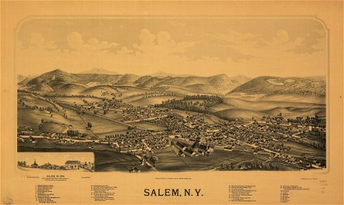
salem
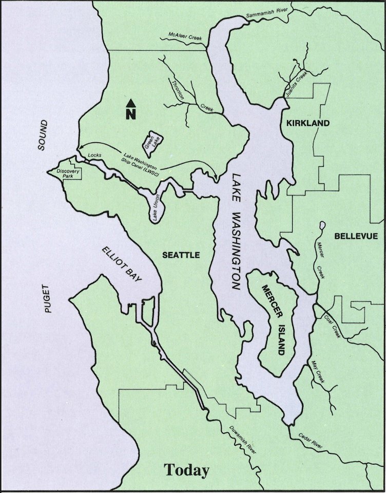
drainage basin maps of north america
lake washington ship canal
maps in the library of congress
new york
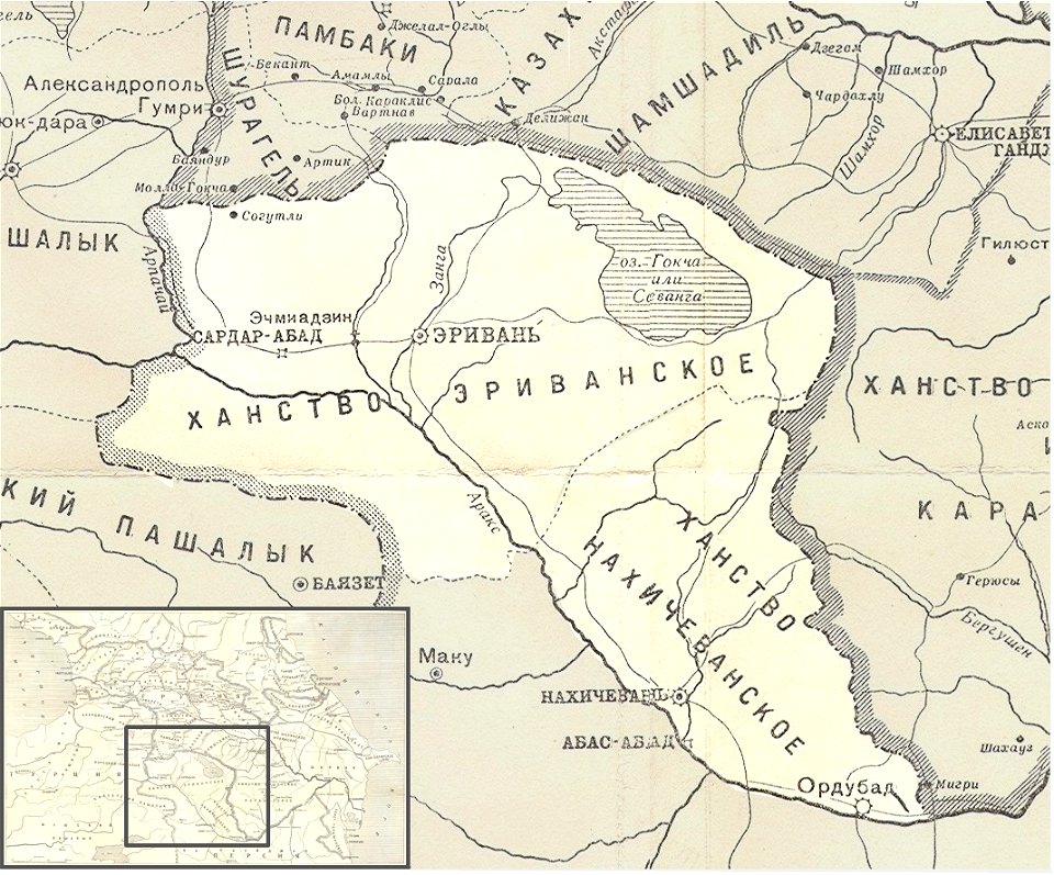
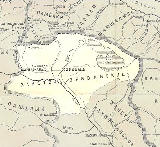
khanate of erivan
1902 maps
maps in the library of congress
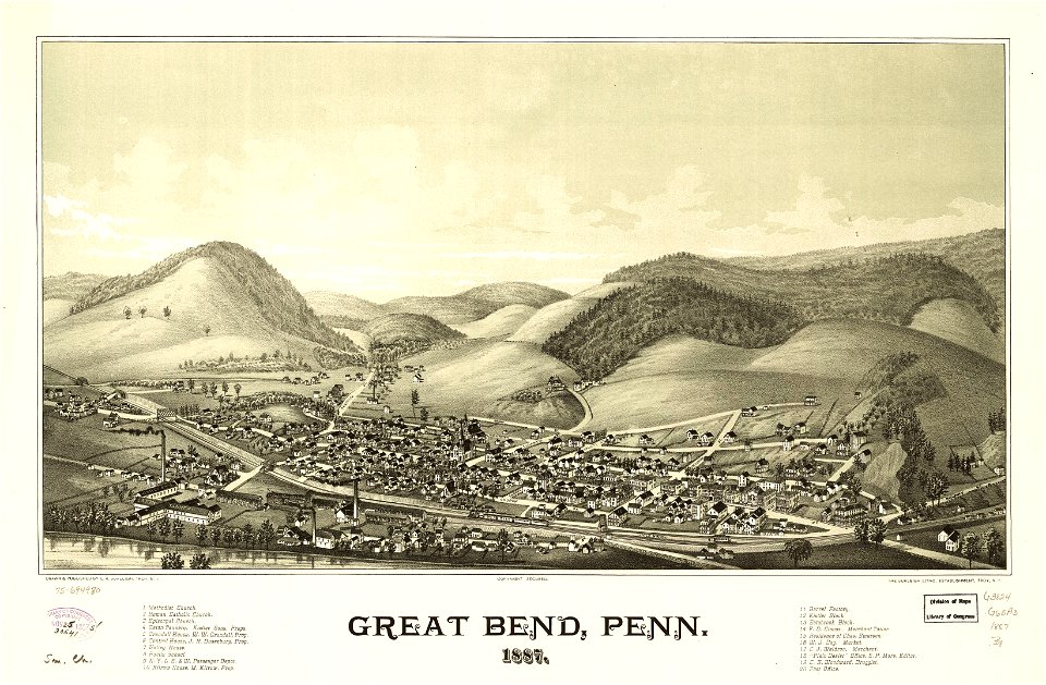
pennsylvania
description of kingdom of georgia
its habits and canons
khanate of erivan
1902 maps
old maps of neuwerk
dieksand
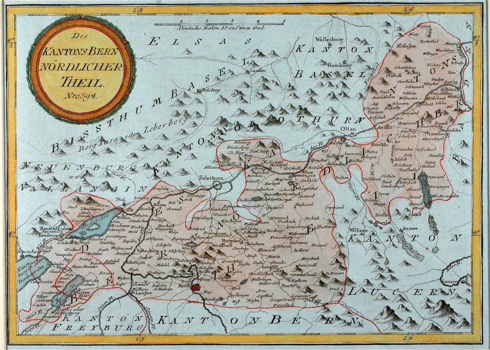
historical images of solothurn
old maps of switzerland
united states geological survey maps
maps of the adirondack mountains
pictorial maps
ships of japan
copper engraving
beavers in art
maps of the dutch republic
nicolaes van geelkercken
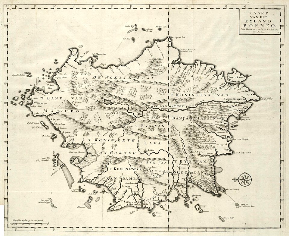
old maps of borneo
samba
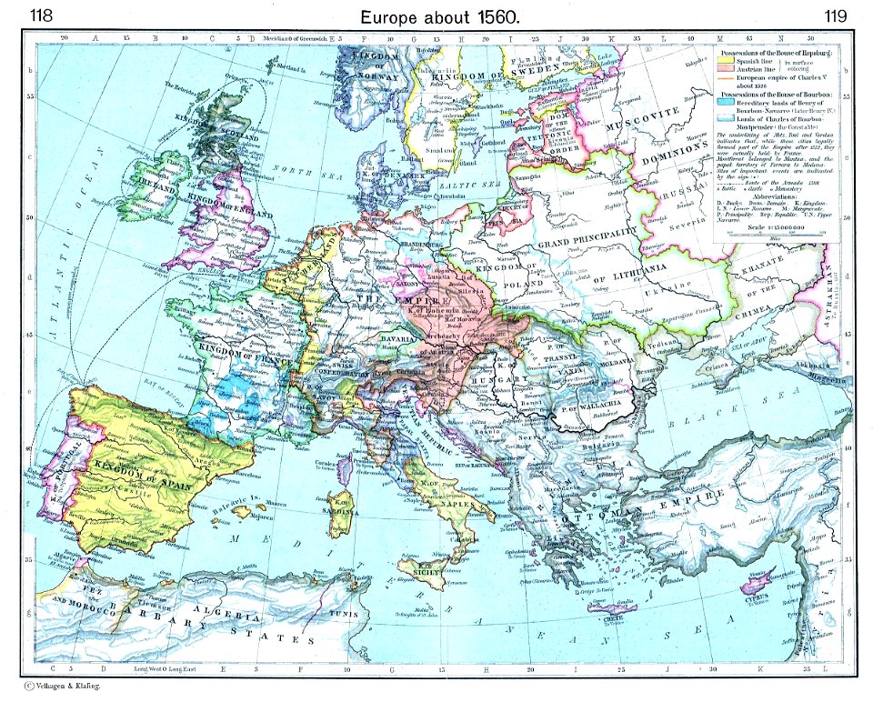
old maps showing history of europe
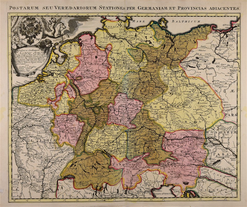
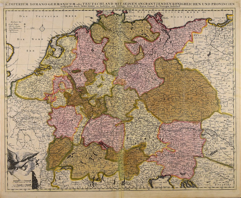
old maps of the holy roman empire
maps by nicolas sanson
gerard valck
maps by nicolas sanson
gerard valck
old maps of mexico
covens en mortier
maps made in the 17th century
gerard valck
illustrations of cosmographia (münster)
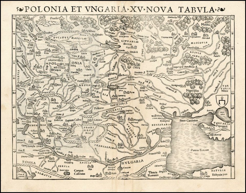
old maps of poland
old manuscript maps
pictorial maps
maps of america by guillaume delisle (18th century)
1760s maps of the americas
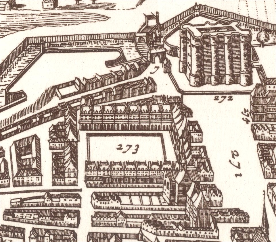
map of paris by claes jansz. visscher - derivate files
abbaye sainte-geneviève de paris
maps with cartouches
abraham goos
maps in the library of congress
1746
maps in the library of congress
1746
maps in the library of congress
1746
maps in the library of congress
1746
maps in the library of congress
1746
maps in the library of congress
1746
maps in the library of congress
1746
maps in the library of congress
1746
map of paris by claes jansz. visscher - derivate files
historical images of place des vosges
prints from bonne atlas de toutes les parties at the peace palace library
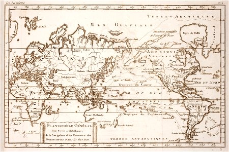
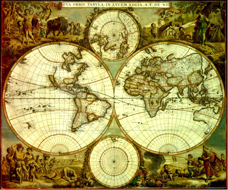
world map
maps in the library of congress
1746
maps in the library of congress
1746
maps in the library of congress
1746
old manuscript maps
pictorial maps
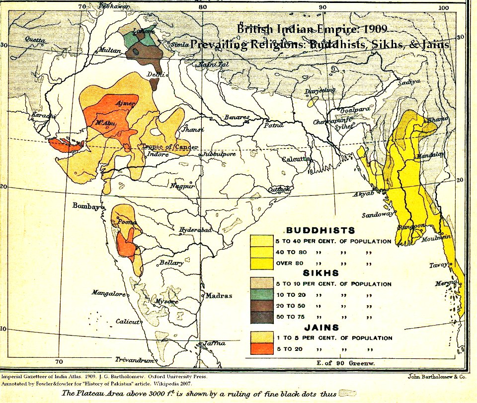
maps of british india
hindus
18th-century maps of nicaragua
1780 in central america
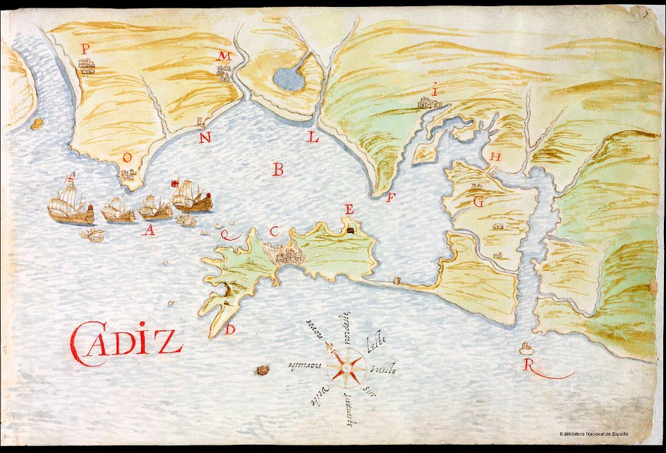
el puerto de santa maría
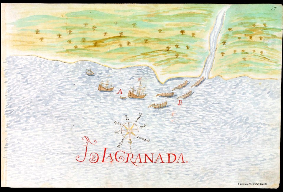
juan de la cosa
17th-century maps of china
cathay
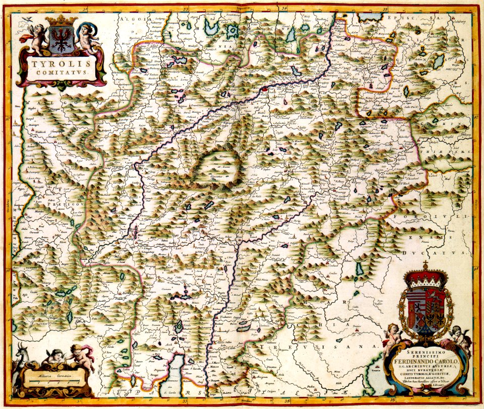
works by georg matthäus vischer
maps made in the 17th century
claes jansz. visscher (ii)
antwerp
maps made in the 17th century
gerard valck
18th-century maps of the spanish empire
dien (printer)
artist missing
1760s
drinks and cooking
1764 paintings
printing
isabella
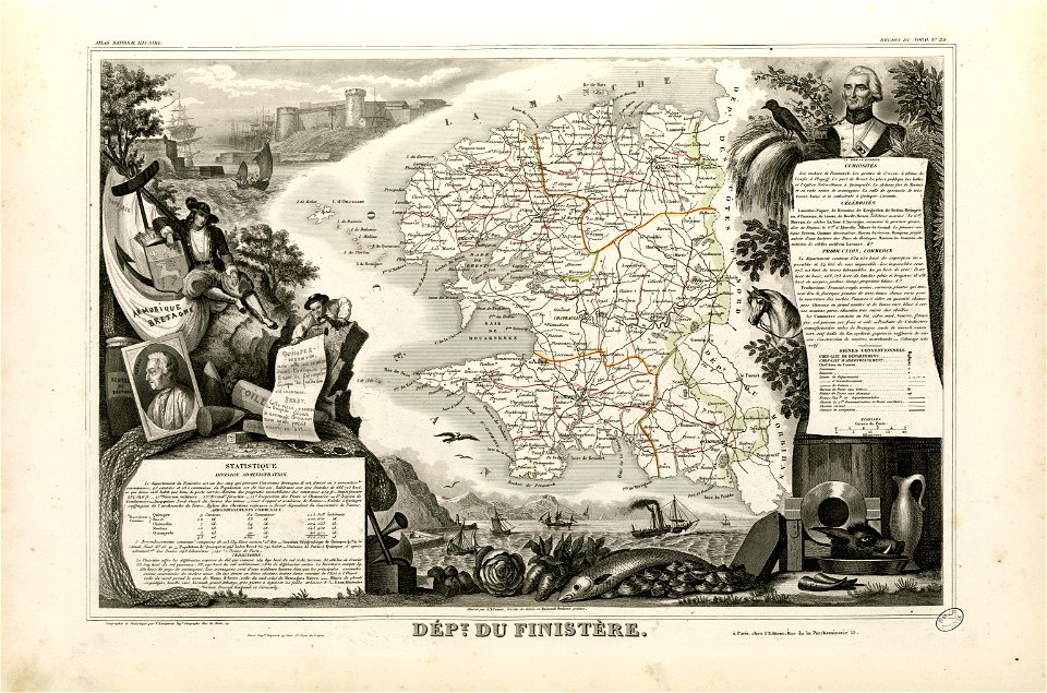
coats of arms of cities in finistère
axes in art
fonds ancely - bibliothèque municipale de toulouse - maps
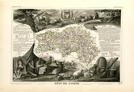
coats of arms of cities in orne
old maps of alabama
old maps of florida
water transport in vyborg
lucas janszoon waghenaer
new york
poland
maps made in the 18th century
old maps of europe
gerard valck
cina
18th-century maps of bohemia
1780 maps of czechia
18th-century maps of italy
old maps of algeria
maps by frederick de wit
1662
maps made in the 17th century
gerard valck
maps in the library of congress
new york
maps made in the 17th century
gerard valck
maps made in the 18th century
old maps of europe
3501 - 3600 of 33,884
Next page
/ 339